Overview
With GS-Route and the twin app RouteIdiot, planning complex routes is a lot of fun and really easy. The basic tutorial shows how it works starting at 8:15.
Routes planned in GS-Routes can be prepared via the export dialog and output in special formats for all common navigation systems.
Quick Routing
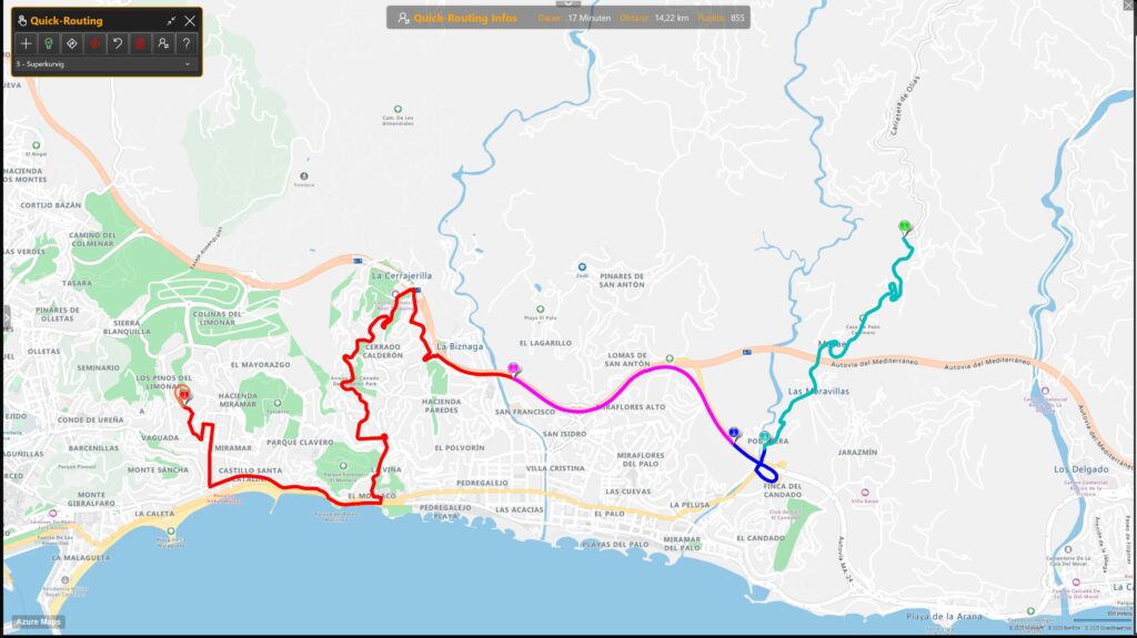
Quick route planning is useful if you know an area well and want to quickly put together a route for the next day’s trip. The following screenshot shows how it works; it’s really simple: you click on the map in sequence, and the route is extended to the last click. Individual points can be moved with the mouse, and the previous and next route segments are then automatically recalculated.
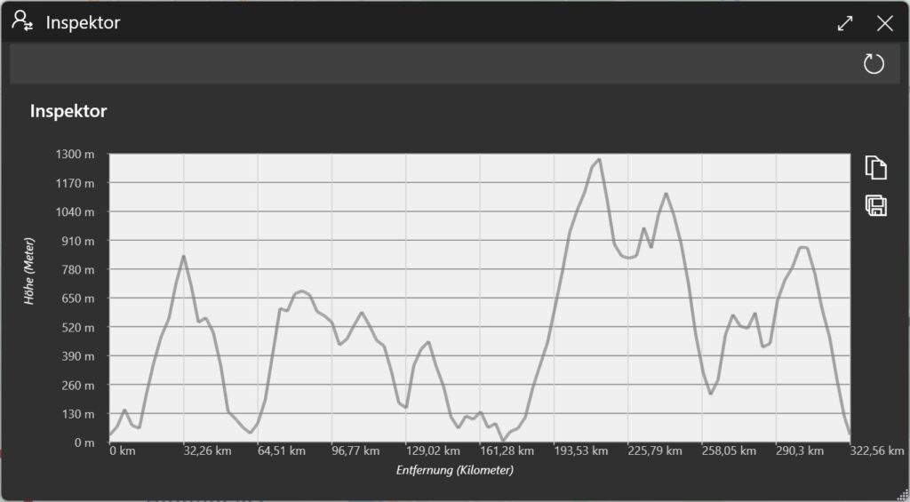
With the inspector, you can see at any time which climbs and descents the route will contain. The more peaks a route has in the inspector, the more challenging it is to ride. Experienced motorcyclists will love routes with as many „peaks“ as possible .
Standard Routing
New routes can also be created the traditional way. To do so, right-click on a location on the map and select a route type from the context menu. A possible route is then calculated and displayed on the map.
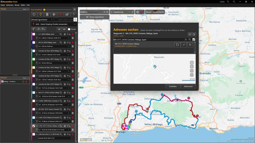
Double-clicking on a route name opens the route editor. Here, you have all the options at your fingertips. You can rename route points, search for addresses with the mouse, change the order, and much more.
Existing routes can be easily edited and then exported to the navigation device.
Cities and addresses
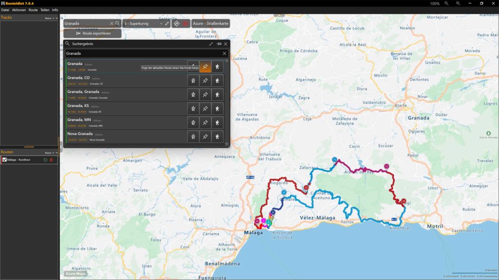
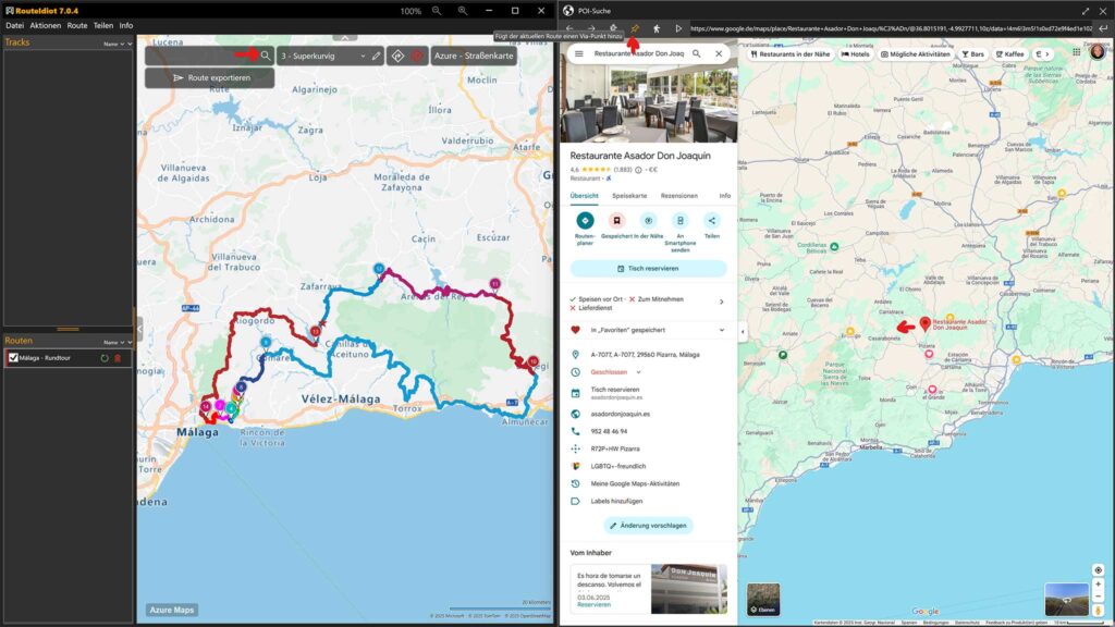
In the search field at the top left, you can enter city names or entire addresses. Three buttons in the search results list allow you to quickly integrate the results into an existing route. Alternatively, you can calculate a route from your selected home address to the search result.
Google Maps
Clicking the magnifying glass icon in the search field opens Google Maps. Here, you can log in and see all the places you’ve marked in Google Maps in the past. Clicking on one of these places will display a pop-up with details. The URL of this entry is analyzed and, if appropriate, the symbols for the start, stop, or end of a route are displayed. This makes it easy to integrate your own points of interest stored in Google Maps into a route.
